Back to Weather

5-day forecast / Denton, TX

ThursdaySlight Chance Showers And Thunderstorms94° / 76° 20%
FridayMostly Sunny96° / 77° 12%
SaturdaySunny99° / 79° 1%
SundaySunny100° / 80° 3%
MondaySunny101° / 80° 1%

Denton Heat Index Hits 101F With Humid Conditions Today - Sep 3, 2 PM

Denton weather, updated every four hours — local forecasts you can trust.

Dangerous heat lingers in Denton with a feels-like temperature of 101F. Highs near 94F today, rising to 96F tomorrow under mostly sunny skies.

Cody Underwood

September 3, 20262 min read

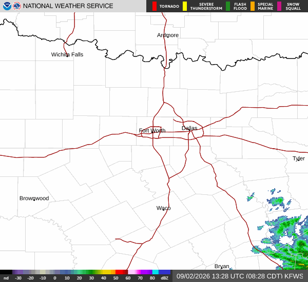
National Weather Service radar for North Texas (KFWS)

*As of Sep 3, 2 PM local time.*

Dangerous Heat and Humidity

Denton is currently experiencing dangerous heat conditions this afternoon. The air temperature stands at 91F, but the combination of heat and moisture pushes the feels-like temperature to 101F. This significant heat index value underscores the intensity of the current weather pattern.

Humidity levels are quite high, with a dew point of 73F and relative humidity at 56%. The sky remains cloudy as winds blow from the southeast at 10 mph, though gusts have reached up to 8 mph. These conditions create a muggy atmosphere that makes the heat feel more oppressive than the actual air temperature suggests.

Forecast for Today and Tomorrow

Today, Denton will see a high near 94F. The National Weather Service indicates mostly sunny skies with a slight chance of showers and thunderstorms. Temperatures are expected to fall to around 92F in the afternoon.

Heat index values may climb as high as 105 during peak hours. Winds will shift to the southeast at 10 to 15 mph, with gusts potentially reaching 25 mph. The chance of precipitation is 20%.

Tonight, a slight chance of showers and thunderstorms persists before 7pm. Skies will become partly cloudy as lows drop to around 76F. Overnight, temperatures may rise slightly to around 78F. Heat index values could reach 103. South southeast winds will continue at 10 to 15 mph with gusts up to 25 mph.
Tomorrow brings mostly sunny skies and a high near 96F. The heat index is forecast to hit 105 again. Winds will decrease, blowing from the south at 5 to 10 mph. There is a 12% chance of precipitation.

Safety Reminder

Given the dangerous heat index values exceeding 100F, residents should prioritize hydration and limit midday exertion. Stay in air-conditioned spaces as much as possible and check on neighbors who may be vulnerable to extreme heat. While there are no active weather alerts, the combination of high temperatures and humidity requires caution.

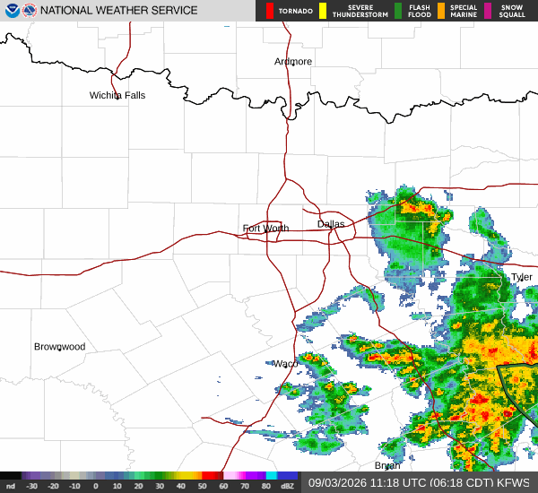
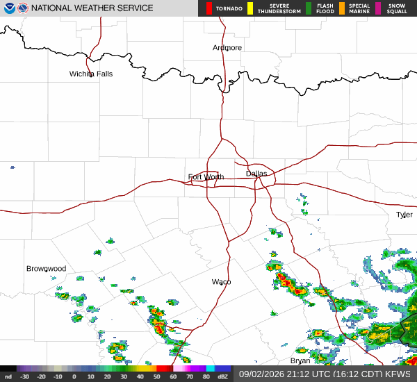
National Weather Service radar for North Texas (KFWS)

Sources

https://radar.weather.gov

https://api.weather.gov

https://open-meteo.com

Share

Cody Underwood

Cody Underwood covers weather, storms, and seasonal life around Denton.

Related Stories

More in Sport