*As of Sep 2, 4 PM local time.*
Dangerous Heat Grips Denton
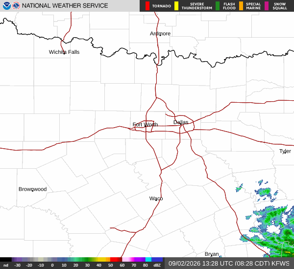
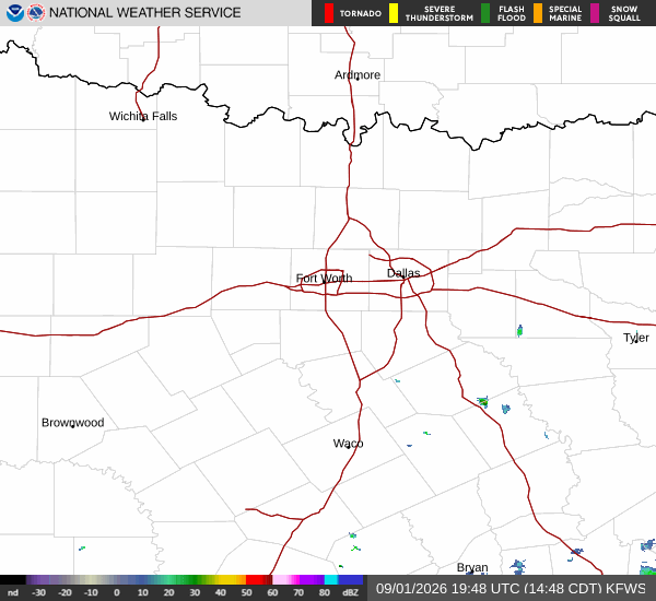
A dangerous heat wave is currently affecting Denton, TX, with air temperatures soaring to 99°F. The combination of high heat and 35% relative humidity creates a stifling environment where the heat index feels like 103°F. Dew points are sitting at 66°F, adding to the muggy atmosphere despite clear skies. Winds are blowing from the east at 10 mph, with gusts reaching up to 12 mph.
Today remains intensely hot and sunny. The high will stay near 99°F, while the low tonight is expected to drop only to around 78°F. There is no chance of precipitation today or tonight.
However, the heat index will remain elevated, with values as high as 104°F during the day and 101°F overnight. Winds may increase slightly tonight, shifting to east-southeast at 5 to 15 mph, with gusts potentially hitting 25 mph.
Tomorrow Brings Slight Relief and Isolated Storms
Temperatures will begin to moderate tomorrow, with a high near 97°F. The sky will be partly sunny, but the heat index could still reach 104°F. A slight chance of showers and thunderstorms is expected after 1pm, bringing a 20% chance of precipitation.
Any rainfall amounts are likely to be less than a tenth of an inch. Winds will continue from the southeast at 5 to 15 mph, with gusts up to 25 mph.
Tomorrow night will see temperatures rise slightly to around 80°F before settling near a low of 78°F. There is a slight chance of showers and thunderstorms before 1am, followed by a chance for the rest of the night. The precipitation chance rises to 30%, though new rainfall totals are expected to remain minimal at less than a tenth of an inch.