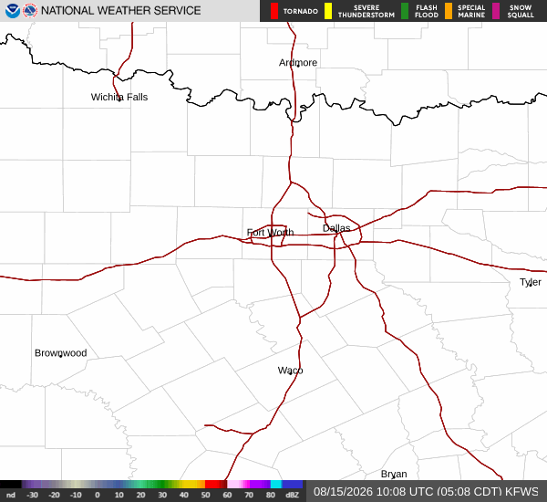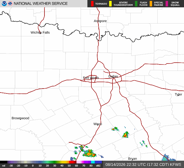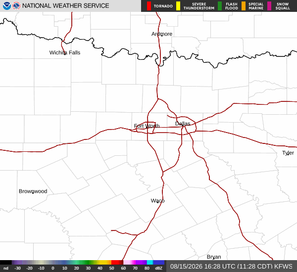
*As of Aug 15, 11 AM local time.*
Current Conditions and Alert Status
Denton residents are under an active Heat Advisory from the National Weather Service, a moderate-severity alert designed to warn of dangerously hot conditions. As of this Saturday morning, the air temperature stands at 90F, but humidity is making it feel significantly warmer, with a feels-like reading of 96F.
The relative humidity is at 56%, and the dew point sits at 72F, indicating substantial moisture in the air.
Winds are currently blowing from the south southwest at 11 mph, with gusts reaching up to 18 mph. The sky remains clear overhead, providing no relief from the sun’s intensity. This advisory highlights the immediate need for caution as heat stress risks rise significantly during daylight hours.
Forecast for Today and Tomorrow
Today will be intensely hot and sunny, with a high near 102F. While the official chance of precipitation is just 1%, the primary concern is the extreme heat. The National Weather Service forecasts heat index values as high as 107 today. Winds will continue from the south southwest around 10 mph, with gusts potentially hitting 20 mph.
Tonight, conditions will remain mostly clear with a low near 81F. However, temperatures are expected to rise to around 84 overnight, preventing significant relief from the heat. Heat index values may still reach 106. Winds will shift slightly to the south at 10 to 15 mph.
Tomorrow brings even higher temperatures, with a high near 104F under sunny skies. The chance of precipitation drops to 0%. Heat index values are forecast to peak at 106.