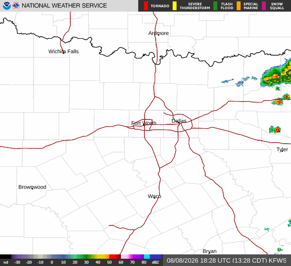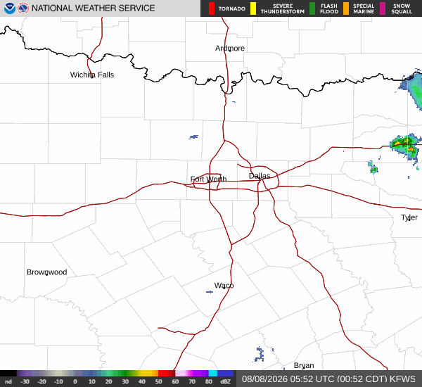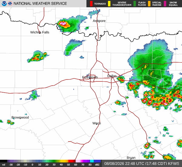
*As of Aug 8, 5 PM local time.*
Current Conditions and Immediate Outlook
Denton is currently under the influence of dangerous heat. As of this Saturday evening, the air temperature stands at 100F, but the heat index makes it feel like 104F. The relative humidity is at 31%, with a dew point of 64F. Winds are blowing from the south-southeast at 10 mph, with gusts matching that speed. The sky remains mostly clear overhead.
Today, the high reached near 101F, while the low settled near 79F. There was a 22% chance of precipitation, with a slight chance of showers and thunderstorms possible. This aligns with the National Weather Service forecast, which noted a slight chance of showers and thunderstorms after 4pm today. Heat index values were expected to reach as high as 104, with south-southeast winds around 5 mph.
Tonight and Tomorrow Forecast
Looking ahead to tonight, conditions will remain mostly clear. The low is expected to drop to around 79F, though temperatures may rise to approximately 81F during the overnight hours. The heat index could still reach 102. There is a slight chance of showers and thunderstorms before 7pm, with a 20% chance of precipitation. South winds will be around 5 mph.
Tomorrow, the weather will turn sunny with a high near 101F. The heat index is forecast to climb back up to 104. Winds will shift to the south, ranging from 5 to 10 mph. Tomorrow night will be clear, with a low around 80F and temperatures rising to about 82F overnight. The heat index will remain high at 104, with south winds around 10 mph.