Back to Weather

5-day forecast / Denton, TX

WednesdayMostly Sunny101° / 80° 1%
ThursdaySunny101° / 81° 2%
FridayMostly Sunny105° / 80° 1%
SaturdaySunny99° / 76° 13%
SundaySunny98° / 76° 2%

Denton Under Heat Advisory as Temperatures Soar Near 103 Degrees - Jul 29, 9 AM

Denton weather, updated every four hours — local forecasts you can trust.

A moderate Heat Advisory is in effect for Denton, TX. Current conditions show a feels-like temperature of 96F with high humidity. Expect highs near 102F today and 103F tomorrow.

Cody Underwood

July 29, 20262 min read

Local sports
Local sports

*As of Jul 29, 9 AM local time.*

Immediate Conditions and Alert Status

Denton, Texas, is currently experiencing intense heat under an active Heat Advisory issued by the National Weather Service. The advisory carries a moderate severity rating and is expected to remain in effect through the evening hours of July 29.

As of this Wednesday morning, the air temperature stands at 88F, but the combination of heat and moisture makes it feel significantly hotter, with a feels-like temperature of 96F.

Humidity levels are notably high for the region, with the dew point sitting at 73F and relative humidity at 62%. Winds are currently blowing from the south at 10 mph, with gusts reaching that same speed. The sky remains clear overhead, offering no relief from the sun’s intensity.

Forecast for Today and Tomorrow

The National Weather Service forecasts a continuation of extreme heat through the end of the week. Today is expected to be mostly sunny with a high near 102F. The heat index values are projected to reach as high as 108 during the peak afternoon hours. South winds will remain light, around 5 mph.

Tonight, skies will clear up further, becoming mostly clear with a low around 82F. Despite the drop in actual temperature, the heat index will still climb to 107. Winds will shift slightly, coming from the south at speeds between 5 and 10 mph.

Tomorrow brings even higher temperatures, with sunny skies and a high near 103F. The heat index is expected to peak at 110, creating dangerous conditions for prolonged outdoor exposure. South southwest winds will pick up slightly, ranging from 5 to 10 mph.
Overnight into tomorrow night, temperatures will settle around 83F but may rise to 85 before dawn. The heat index will remain elevated at 109, with south southeast winds continuing at 5 to 10 mph.

Safety Reminders

Given the active Heat Advisory and extreme heat index values, residents are urged to take precautions seriously. Hydration is critical; drink water frequently even if you do not feel thirsty. Limit outdoor exertion during the midday hours when solar intensity is highest.

Check on elderly neighbors or those without air conditioning, as the overnight lows will not provide sufficient relief from the daytime heat. Keep vehicles parked in shade and never leave people or pets inside closed cars.

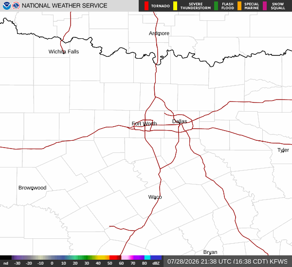
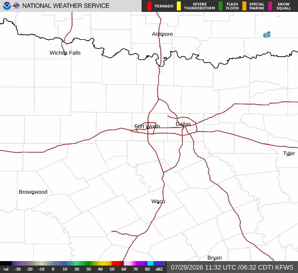
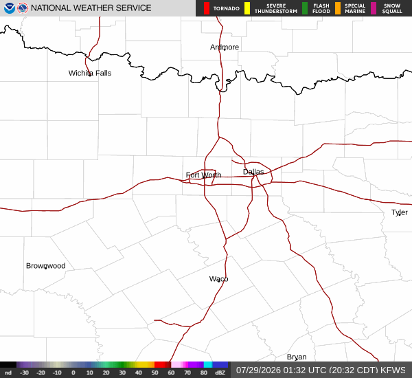
Latest National Weather Service radar for North Texas (KFWS radar). Source: radar.weather.gov.

Sources

https://radar.weather.gov

https://api.weather.gov

https://open-meteo.com

Share

Cody Underwood

Cody Underwood covers weather, storms, and seasonal life around Denton.

Related Stories

More in Sport