*As of Jul 12, 4 PM local time.*
Dangerous Heat Lingers
Denton is currently under the influence of dangerous heat this Sunday afternoon. The air temperature stands at 95F, but the combination of heat and moisture pushes the feels-like temperature to 101F. Relative humidity is at 44%, with a dew point of 70F, creating a muggy atmosphere that makes the heat feel more oppressive.
Winds are light at 6 mph with gusts to 6 mph, and the sky remains partly cloudy.
Storms and Temperatures Ahead
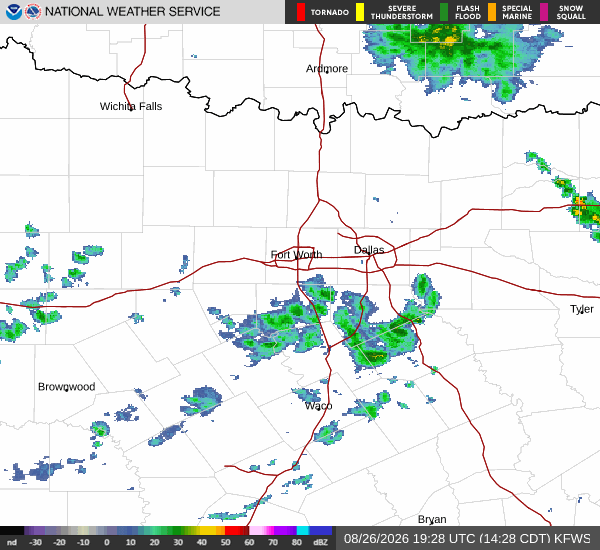
Today, the high will reach near 95F, while the low tonight will drop to near 75F. There is a 50% chance of showers and thunderstorms. The National Weather Service indicates a chance of showers and thunderstorms today, with partly sunny skies.
Heat index values could climb as high as 102. East southeast winds will be around 5 mph. New rainfall amounts less than a tenth of an inch are possible.
Tonight, conditions remain partly cloudy with a low around 75. Temperatures may rise slightly to around 77 overnight. The chance of precipitation remains at 50%, with showers and thunderstorms possible before 1am, between 1am and 4am, and later.
Heat index values will stay high, around 101. Southeast winds will be 0 to 5 mph. New rainfall amounts between a tenth and quarter of an inch are possible.