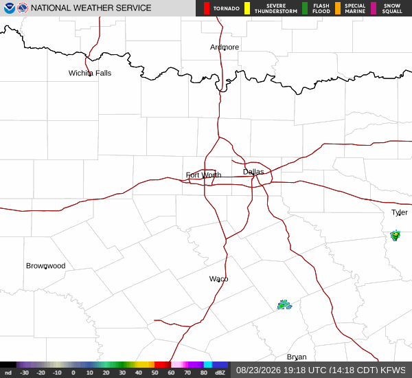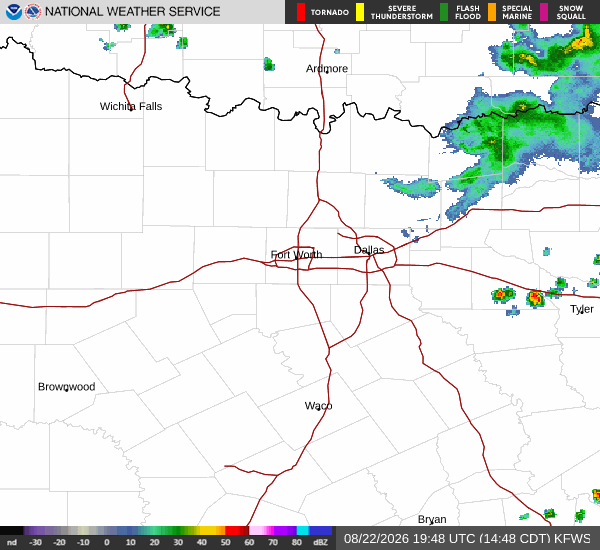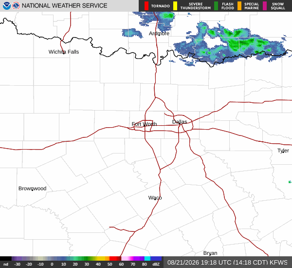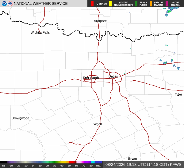
*As of Aug 24, 2 PM local time.*
Dangerous Heat Conditions Persist
Denton, TX is currently under an active Extreme Heat Warning issued by the National Weather Service. The severity is classified as severe, with the alert remaining in effect until late tomorrow night. Residents are facing dangerous heat levels right now, with the air temperature at 106F and a feels-like temperature of 108F.
Relative humidity sits at 23%, with a dew point of 60F. Winds are blowing from the south southwest at 8 mph, with gusts reaching up to 20 mph under clear skies.
Forecast for Today and Tomorrow
Today will remain sunny with a high near 108F. Temperatures are expected to fall slightly to around 106F in the afternoon. The heat index values will reach as high as 107F. South southwest winds will continue around 10 mph, with gusts as high as 20 mph. There is only a 4% chance of precipitation.
Tonight will be mostly clear with a low near 84F. Temperatures may rise to around 86F overnight. The heat index will stay high at 106F. South winds will increase to 10 to 15 mph, with gusts as high as 25 mph.
Tomorrow will be mostly sunny with a high near 107F. Heat index values will remain elevated at 106F. South southwest winds will persist around 10 mph. The chance of precipitation rises slightly to 8%. Tomorrow night will bring partly cloudy skies and a low around 83F, with temperatures rising to 85F overnight. Winds will shift to south southwest at 5 to 10 mph.