*As of Aug 11, 5 PM local time.*
Dangerous Heat Conditions
Denton, TX, is currently under an active Heat Advisory issued by the National Weather Service. The advisory carries a moderate severity rating and is expected to remain in effect until this evening. Residents are experiencing dangerous heat levels right now, with the air temperature at 99F but a feels-like temperature of 104F due to humidity and wind factors.
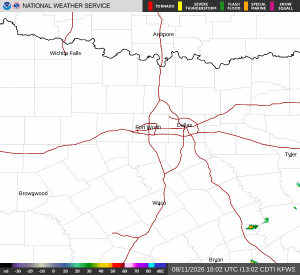
Current observations show mostly cloudy skies with south winds blowing at 13 mph, gusting up to 14 mph. The relative humidity stands at 37%, with a dew point of 68F. While the sky is currently overcast, conditions are expected to clear significantly as the day progresses.
Forecast for Today and Tomorrow
Today, Denton will see sunny skies with a high near 102F. The National Weather Service indicates heat index values could reach as high as 108 during the peak afternoon hours. South winds will average around 15 mph. There is no chance of precipitation today.
Tonight, the sky will become mostly clear. Temperatures will drop to a low near 81F, though they may rise slightly to around 83F overnight. Heat index values are expected to remain elevated at up to 105F. South winds will continue at 10 to 15 mph.
Tomorrow, the weather pattern remains consistent with sunny skies and a high near 102F. The heat index is forecast to peak at 105F. Winds will persist from the south at 10 to 15 mph, with gusts potentially reaching 25 mph. Precipitation chances remain negligible at just 1%.